How It Works
Dibma uses smart mapping technology to turn your drawn routes or shapes into realistic running paths. Here's how it happens step by step:
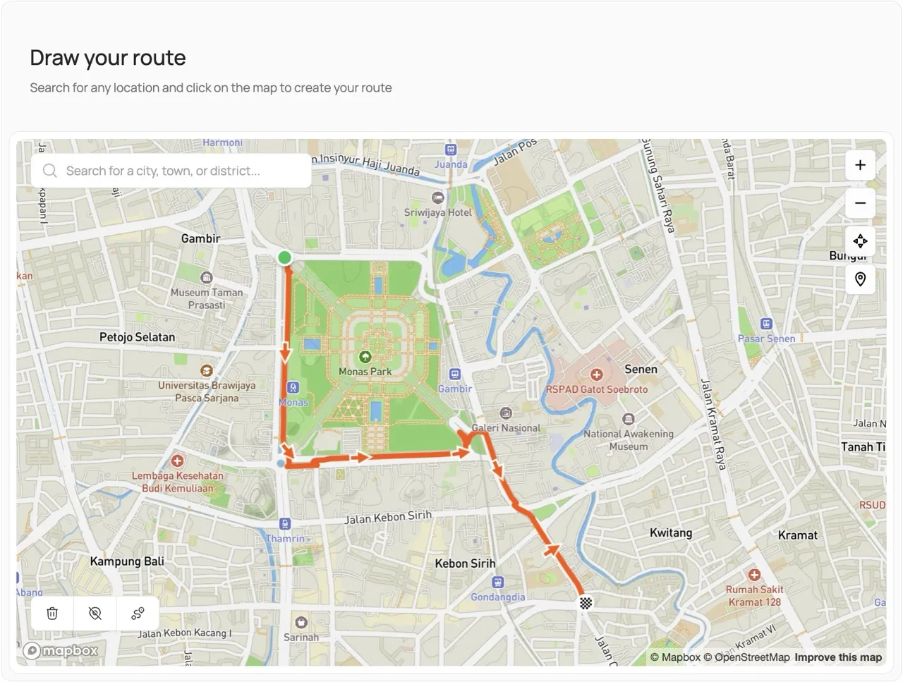
First, when you draw or select a route, the system immediately records the GPS coordinates of your path.
Next, those coordinates are snapped to real roads and paths with the help of advanced mapping APIs, making your route more accurate and natural.
Then, the system adds realistic elevation data based on real-world terrain, giving your run an authentic feel.
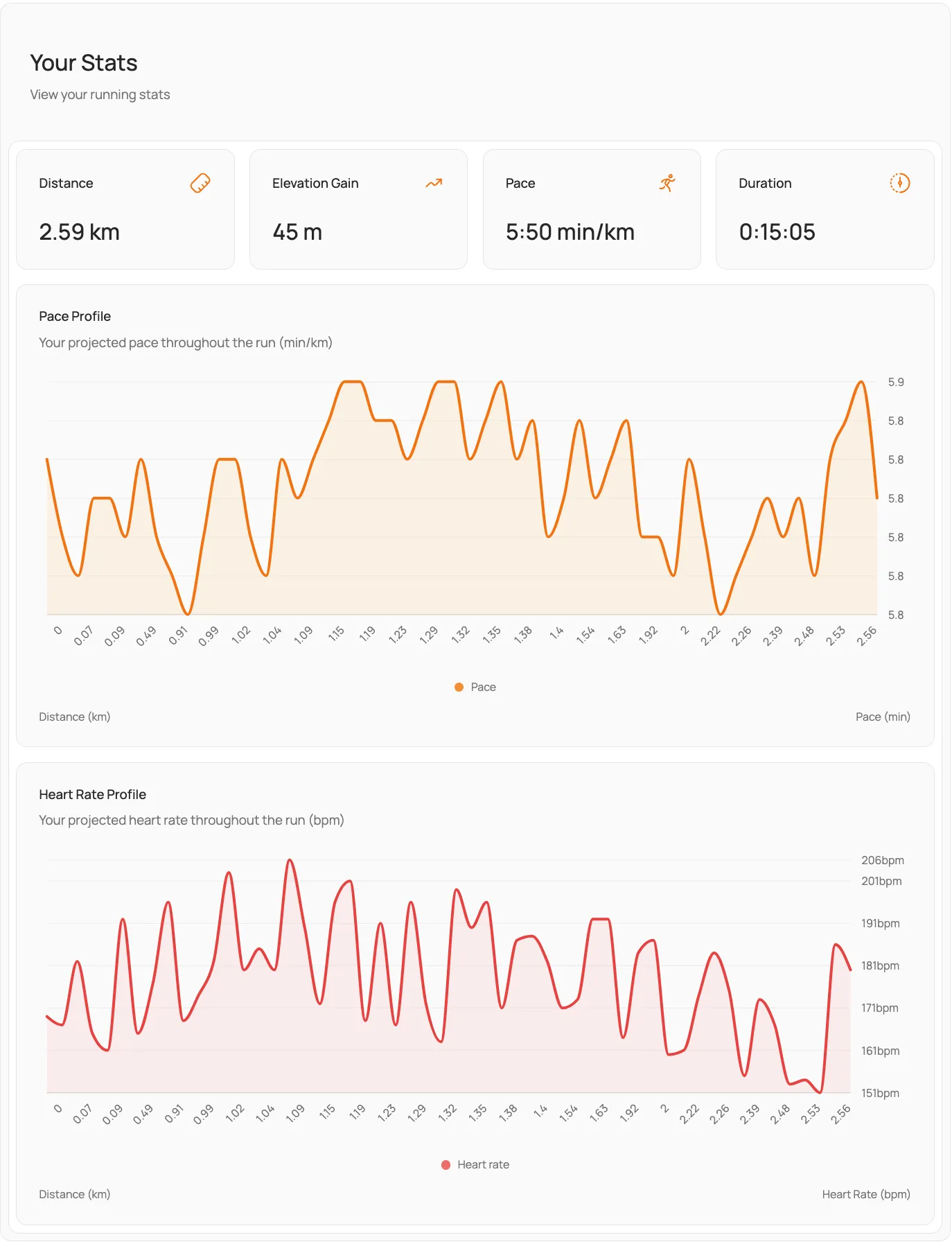
After that, it calculates timestamps for every point along your route, based on the pace you select.
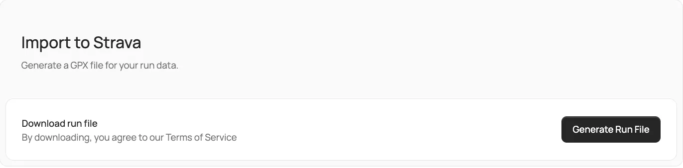
Finally, everything is neatly packaged into a standard GPX file—ready for you to upload or share anywhere you like.